
← The Acorn overview
The Acorn application guide
GeoExif Mapper
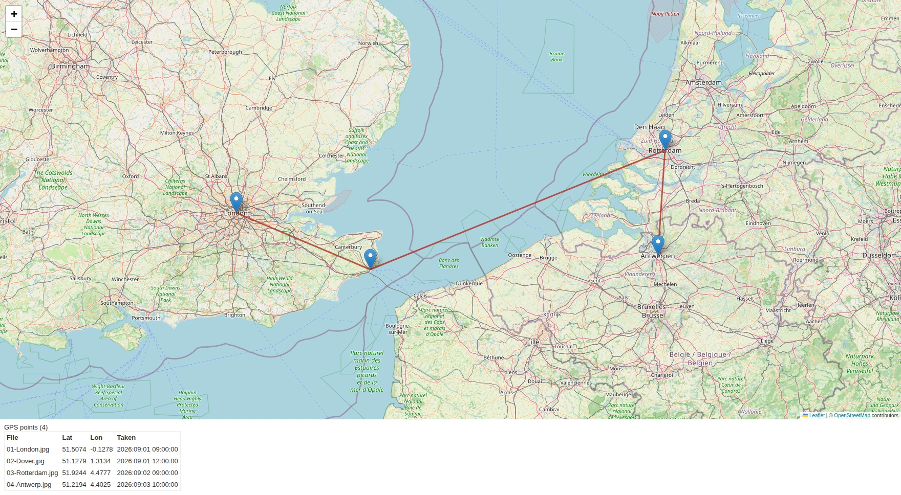
Four training photographs have assigned GPS coordinates at real landmarks. Read their EXIF metadata beside the map and timeline. The connecting lines and point-to-point distances do not reconstruct a person’s journey.
Constructed test example
Compare the coordinates and times stored in photographs
Example input
- Constructed JPEGs with EXIF GPS coordinates at known landmarks.
Result or controls shown
- Photo metadata, map and timeline views with point-to-point distance calculations.
 View full screen
Enlarge the screenshot to read the source records.
Examination steps
Steps to review in your evaluation
-
Extract the available metadata from the selected images.
-
Compare recorded coordinates and timestamps in the map and chronology.
-
Keep metadata-derived locations separate from claims about a person's movements.
Related application guides
Start with your requirements
Request an application demo
Tell us the source type and task you want to examine. We can plan a demo using suitable training material. Do not send confidential evidence.